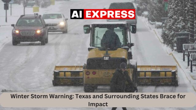
Aiexpress – Winter Storm Watches have been issued for North Central and Northeast Texas, parts of Arkansas, Northern Louisiana, Northern Mississippi, and Western Tennessee for Thursday night and Friday night. Additional Winter Storm Watches will likely be issued for areas to the east, including the whole of Tennessee, Northern Alabama, and Northern Georgia, as well as the interior Carolinas.
This storm has the potential to bring 6 to 8 inches of snow to some parts of the Winter Storm Watch area. In addition, freezing showers could cause considerable ice in the southern part of the Winter Storm Watch zone. This storm will affect places such as Dallas, Fort Worth, Little Rock, Shreveport, Louisiana, Memphis, Tennessee, and potentially Atlanta, Georgia, and Charlotte, North Carolina, among others.
The Weather Prediction Center has highlighted in light blue areas with a 70 to 90 percent likelihood of at least 3 inches of snow and sleet, while darker blue signifies 50 to 70 percent. This area reaches as far south as Birmingham, Alabama, Atlantia, Georgia, and Charlotte, North Carolina.
Weather models’ solutions for this storm are closely related, indicating a high likelihood that it will occur. The low moves south along the Gulf Coast. Much of the Eastern United States is covered in frigid air, which will be tough to dislodge as the storm approaches. Precipitation begins in Northeast Texas on Wednesday night and continues throughout Thursday night, spreading eastward. By Friday, snow will have reached Eastern Tennessee and North Georgia, before moving on to the Carolinas late Thursday night. Eventually, this storm will veer northeast, just off the Carolina coast. It will most certainly bring snow up the coast as far north as New York City and Southern New England late Friday night and Saturday.


Leave a Reply