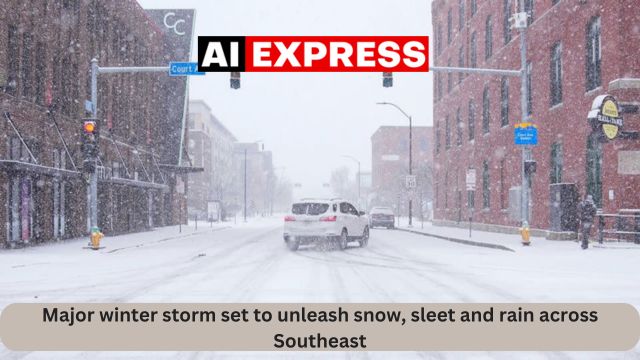
Savannah, Georgia (AIexpress) — The Southeast has been cold for the previous few days, and this cold air will continue until the end of the work week. With temperatures 10 to 20 degrees below average and a storm system on the way, parts of the Southeast might see a wintry mess.
A significant uncertainty about this storm is whether it will bring only rain or a wintry mix of snow. The most recent model guidance indicates a better agreement on where this rain and snow line will be.
However, in the Coastal Empire and Lowcountry, we will most likely get only rain. As you go north into Georgia and South Carolina, things begin to change, particularly in the Appalachian Mountains.
So, what conditions must exist for various forms of precipitation to form? Let’s start with rain. The air above the clouds is below 32 degrees Fahrenheit, which is cold enough to produce frozen water droplets or snow. When these flakes fall and come into contact with a warm layer of air above 32 degrees, they melt and form raindrops. With this warm layer of air spreading to the surface, any precipitation from the clouds will fall to the earth as rain.
Now let’s talk about sleet, which is another type of frozen precipitation. We start again in the clouds, with temperatures below 32 degrees. As the precipitation falls, we come across a thin layer of warm air at the center of our column. When temperatures rise temporarily over 32 degrees, the snow crystals begin to melt before re-entering another freezing layer. As the partially melted snowflake falls back into the cold layer of air, it re-freezes, generating little ice pellets.
These ice pellets can be dangerous on the road since they provide slick conditions and interfere with the tires. When driving through sleet, drive carefully and leave plenty of space between yourself and the car in front of you.
Next, we have freezing rain, which can lead to black ice on our roads. As snow descends from the sky, we engage with a considerably thicker warm layer of air than when dealing with sleet. When snow reaches this layer, it melts into raindrops, which remain on the ground.
As we approach the ground, we reach another cold layer of air, but this one is quite shallow, often only a few hundred feet above the surface, leaving little time for the rain to re-freeze. As these showers strike the surface, they freeze on contact, coating our homes, roadways, and even vegetation in a thin film of ice.
This is the most dangerous type of precipitation since the ice on the roads is difficult to detect, and if drivers are not cautious, it can lead to accidents and significant travel effects.
Finally, we get snow, which is uncommon in the Coastal Empire and Lowcountry. This sort of precipitation is significantly less complicated than sleet or freezing rain. For snow to fall, a cold layer of air below 32 degrees Fahrenheit must reach all the way to the ground. If this occurs, snow may remain frozen as it travels to the surface, causing accumulation.
Source: Major winter storm set to unleash snow, sleet and rain across Southeast






Leave a Reply