Aiexpress – Upper-level ridging will give way to troughing in the longwave pattern at 300mb, which will make a big change in the state’s overall weather trend. A cut-off low will also form to the southwest of the state by the end of the week. This feature’s effects are still being felt. It looks like there will be strong high winds on the ground on Saturday, January 4, 2025, and again on Tuesday and Wednesday, January 7-8, 2025. This will make it more likely that snow will fall on the Mogollon Rim.
From Flagstaff eastward in the northern part of the state this coming Saturday, wind gusts of 35 to 45 mph are likely on the Mogollon Rim. Here is where the terrain will have the most effect on the top level gradient. This will also make it harder to drive on I-40 during the day, especially for RVs and vehicles with high clearance. On Saturday, winds of 25 to 35 mph are expected in the southeast of the state.
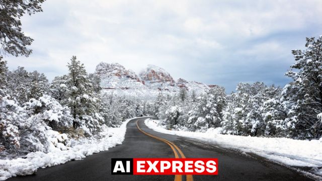
As for next Tuesday and Wednesday, all three models agree that it might snow on the Mogollon Rim. The amount of snow that falls won’t be very big because the amount of available moisture is low. But places higher up might get more than two inches, and most places will get less than an inch. A lot of people in Coconino, Apache, Navajo, and Northern Greenlee Counties will likely get snow. It will still be too warm in southern Arizona, and there won’t be enough rain or snow to fall. Upstate will be hit the hardest, but I don’t think this system will bring much snow generally. The lack of rain and cool temperatures are in line with my long-term forecast for the state.


Leave a Reply