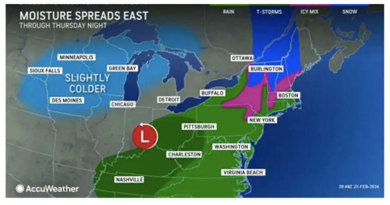
Aiexpress – A fresh winter storm is currently moving across the Northeast, bringing a combination of rain and sleet. Upstate New York and northern New England can expect significant snowfall as well.
According to the National Weather Service, the storm, which was triggered by a frontal system, arrived in the evening on Thursday, February 22nd, and gradually subsided by Friday afternoon, February 23rd.
A quarter-inch of rain is forecast overnight, with pockets of mixed rain and wet snow forming away from the coast.
Rain will continue throughout the morning Friday before tapering off from west to east in the afternoon, following another quarter-inch of additional rainfall.
Friday’s high temperature will be in the low to mid-40s.
The skies will slowly clear on Friday night, bringing in colder temperatures for the upcoming week.
On Saturday, February 24th, expect clear skies and chilly temperatures, with the mercury hovering around freezing all day.
The weather on Sunday, Feb. 25 will be sunny and clear, with a high temperature of around 40 degrees.
Starting on Monday, February 26, the temperature will begin to rise with a high temperature reaching the mid-40s on a partly sunny day.
