Aiexpress – Winter storm to bring mix of snow, sleet, and rain to the Northeast after a period of dry weather.
The system is expected to start overnight on Thursday evening, February 22, and continue into early Friday afternoon, February 23.
But residents in the northernmost areas should be prepared to get their snow shovels ready.
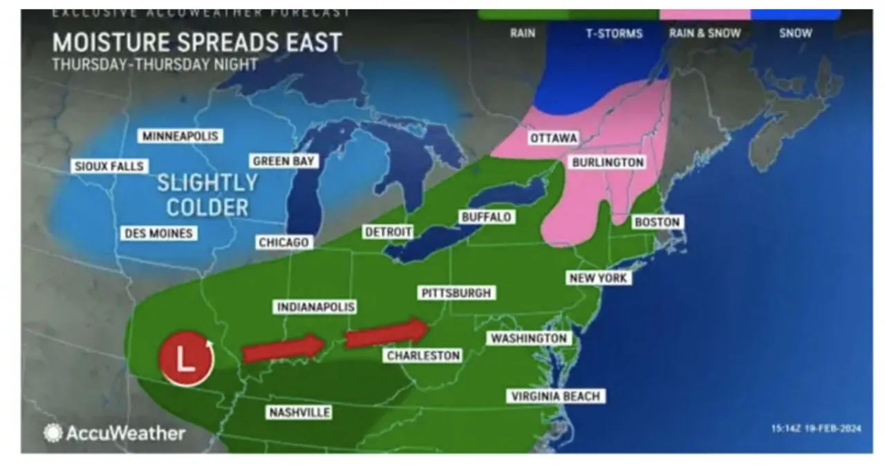
Temperatures are expected to hover just above freezing in most parts of the region during that period, with the exception of the northernmost areas. Upstate New York and Northern New England are predicted to see snowfall, as indicated in the second image above.
According to the National Weather Service, the days leading up to the storm’s arrival will be dry and seasonable.
The days preceding the storm’s arrival will be dry and seasonable, according to the National Weather Service.
On Tuesday, Feb. 20, expect bright skies, a high temperature in the mid- to upper 30s, and wind chill values around 10 degrees lower.
Wednesday, Feb. 21, will be warmer, with a high of around 40 degrees and sunny skies.
Thursday will be mostly sunny during the day, with peak temperatures reaching the low 40s in the far south.
Clouds will build Thursday night in anticipation of the storm on Friday.
According to current forecasts, the storm will move from west to east into the region between 11 p.m. Thursday and 1 a.m. Friday.
There is still doubt about the trajectory, timing, strength, and temperature range.
