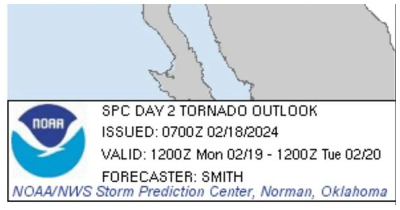
Aiexpress – The National Weather Service (NWS) has issued an unusual tornado risk alert for a section of California’s Central Valley. The alert emphasizes the possibility of isolated severe thunderstorms on Monday afternoon and early evening.
The forecast relies on a complicated weather situation that includes a mid-level low located in the eastern Pacific near the CA/OR border. There is a strong southwesterly flow at the 500-mb level extending from this system into California and Nevada. At the same time, a surface low pressure system will persist to the west of the northern CA/OR coast.
The Central Valley of California is known to have a slight risk of severe thunderstorms. According to the latest HREF (High-Resolution Ensemble Forecast) convection-allowing model, cellular storms are expected to develop during the peak heating period in the Central Valley.
The NAM (North American Mesoscale) model tends to underestimate surface temperatures, but when adjusted for slightly warmer conditions, it indicates the possibility of moderate instability (250-500 J/kg MLCAPE) in the afternoon. The atmospheric conditions, with elongated hodographs and moist boundary layers, provide a favorable environment for the development of brief supercell thunderstorms capable of rotation.
The NWS is highlighting the possibility of isolated tornadoes and localized gusts accompanying the stronger storms. These weather conditions are not common in California, so it is important for residents to stay updated on the changing situation.
