The Reno office of the National Weather Service has released an extensive afternoon discussion, offering a detailed forecast for an upcoming winter storm that will affect the Tahoe region and western Nevada.
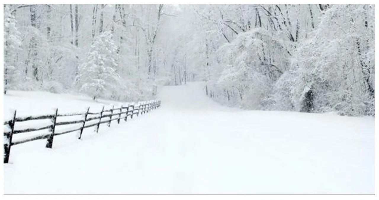
The upcoming storm is expected to bring a significant amount of snow, making it the most substantial snowfall of the season so far.
The forecast predicts a 60% chance of having more than 2 feet of snow at lake level in the Tahoe region. Additionally, there is the potential for the Sierra crest to receive over 3 feet of snow.
The Sierra region is expected to experience major travel disruptions from Sunday to Tuesday due to the impending storm.
The discussion outlines the timing of the storm, indicating that impacts will begin before sunrise on Sunday in Mono County. It will then gradually spread northward to Alpine County and the Tahoe Basin. By mid-morning, the storm is expected to extend into far western Nevada.
The heaviest rainfall is expected from late Sunday afternoon through Monday morning, impacting both the ski commute on Sunday and the morning commute on Monday. Although the precipitation will be less intense, it is forecasted to continue at least until Tuesday.
The forecast predicts a significant amount of snowfall in the Tahoe Basin and Alpine/Mono Counties, with a 30-40% chance of receiving 3+ feet of snow. In areas south of the Tahoe Basin, the longer duration of the storm increases the likelihood of 4+ feet of snow to 60-70%. It is recommended that residents in Sierra communities take necessary precautions and clear areas prone to snow accumulation in preparation for the incoming storm.
The forecast surprisingly indicates that there may be snowfall in western Nevada. There is a 50-70% chance of around a foot of snow in foothill areas above 5000 feet. Virginia City and the Highlands area could potentially receive up to 18″ of snowfall. Although simulations show a wide range of snowfall amounts, there is also a chance for lower valley floors (below 5000 feet) to experience snow. There is a 40% chance of up to 4″ and a 20% chance of exceeding 8%. The least potential for snow is expected east of Highway 95 for Lovelock and Fallon.
Read More:
- CNN Politics: Rebuilding Biden’s 2020 coalition poses the biggest challenge for his campaign
- No opposition voiced at hearing for proposal to mandate NE’s acceptance of $18M in federal food funds for children
